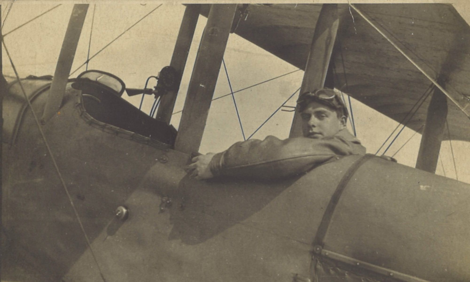
As the eastwards momentum continues to build, Greg has a successful shoot with 99 Siege Battery on a hostile battery in square L28, just to the west of Estaires and some 3 miles (5 km) east of Merville. The battery is located near an elaborate defensive system of trenches and wire.
Log Book

![]()
Date: 24.8.18
Time: 15.35
Rounds Lewis: 400
Rounds Vickers: 300
Bombs: 4
Time on RE8s: 141 hrs 45 mins
RE8: E27
Observer: Lt Pring
War Flying Time: 2 hrs 15 mins
Height: 4000
Course/Remarks: Shoot with 99 SB on L28. Successful.
Squadron Record Book

Type and Number: R.E.8.27
Pilot and Observer: P. Lt Gregory. O. Lt Pring
Duty: Art. Obs. on H.B.  Destructive.
Hour of Start: 15.35
Hour of Return: 17.50
Remarks: S. with 99-S.B. (2-6” How) on H.B. at L 28 b 68.96. (P).
Called at 15.55. K 15.58. G 16.03.
34 ranging rounds:- 1 OK, 3Y, 1Z, 8A, 8B, 5C, 7W.  Salvos MC7 & MB7.
V 16.46.  G to V 43 mins.
Ranging pit hit during ranging.  House at L 28 b 9.9 hit and partially demolished during ranging.
CI sent 17.35.  Total rds fired 200.
15.50  2 EKB [Enemy Kite Balloons] E. and N.E. of ESTAIRES.
16.30  2  "  near LAVENTIE.
16.15  Fire at L 23 d 6.9 (HOUSE)
16.35  KK [signal for seeing flash of artillery fire] on flash seen in G 28.
Vis: good.  Height 3500’.  Obs by P & O.
400 L.G. [400 rounds from Lewis Gun] and 300 V.G. [Vickers Gun] into ESTAIRES & along ROADS from 2000’.
4-25lb bombs on L 33 d 7.7.  Bursts obs.
Shoot with 99 Siege Battery near Estaires
Here are the locations mentioned in the report:

For more detail of what went on in a shoot, how to read a squadron record book entry of a shoot, and what the codes mean, see:
Trenches and Wire
Square L28, west of Estaires, contained not only the hostile battery at which Greg’s shoot was directed, but also several presumably important positions that were well defended by trenches and wire, as this extract from 1:10,000 scale trench map shows:

Trenches showed up starkly in vertical aerial photographs in oblique sunlight, as the following two (unlocated) examples show:


