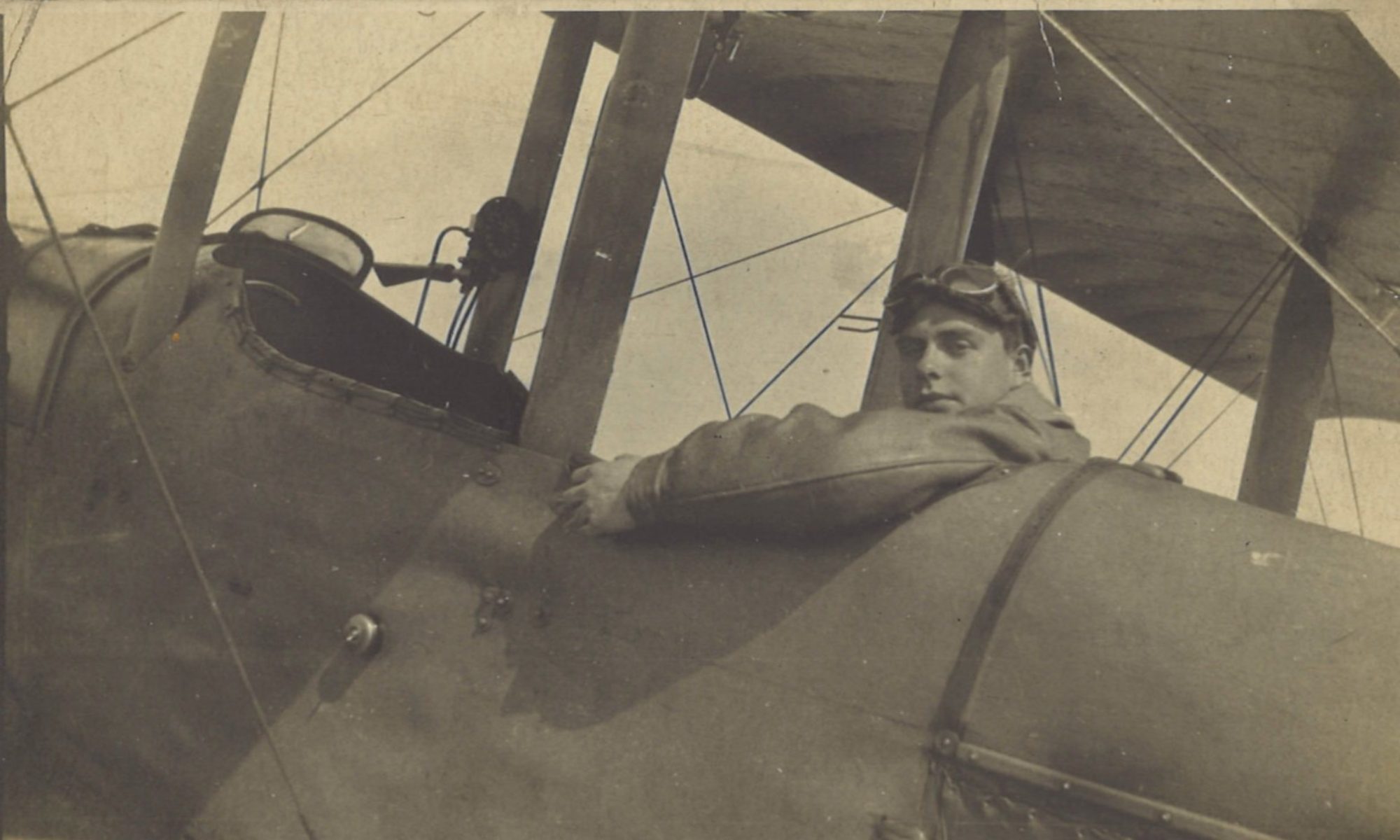
Back to work proper today, after yesterday’s brief test flight. A reconnaissance flight with Lt Scarterfield, and it was raining. So the weather hadn’t improved while Greg was away on leave.
Log Book

![]()
Date: 5.10.18
Time Out: 14.10
Rounds Fired – Lewis: 200
Rounds Fired – Vickers: 200
Bombs: -
Time on RE8s:  163 hrs 10 mins
RE8: 6740
Observer: Scarterfield
War Flying: 2 hrs 10 mins
Height: 2000
Course/Remarks: Reconnaissance. Raining.
Squadron Record Book

Type and Number: R.E.8. 6740
Pilot and Observer: P. Lt Gregory. O. Lt Scarterfield
Duty: Reconnaissance
Hour of Start: 1410
Hour of Return: 1620
Remarks:
FIRES & EXPLOSIONS
1430.  Large fire at LILLE at approx. Q.8.a.5.5 (Yellow smoke)
1430.  Two fires at P.14.c.3.5 (Buildings)
1435. Large fire S.E. of LILLE. Q.11. (Unable to pin-point owing to poor visibility.)
1535. Fire in LAMBERSART.
FLASHES.
1450. K.K. on flash in J.22.a. (Unable to pin-point.) [K.K. is a signal of a flash, possibly denoting an enemy gun firing]
1535. K.K. on flash in J.3.a. (Medium sized white flash)
Shell seen to fall in ARMENTIERES after about 35 seconds.
MOVEMENT
No movement seen in Sq. I.6. to 36.
Bridge at P.21.a.0.8. intact.
Rain prevented much observation. Returned with carburettors full of water.
E.K.B. [Enemy kite balloons] Nil.
E.A. [Enemy aircraft] Nil
A.A. [Anti-aircraft fire] Normal.
200.L.G. 200.V.G. [200 rounds from each of the Lewis gun and the Vickers gun] fired into FORT d’ENGLOS (P.1.a) and PERENCHIES from 1200’.
Vis. Poor.  Height 1500’.  Obs.by P.&.O.
The following map shows the locations mentioned:

Reconnaissance
Even though the weather hadn’t got any better while Greg was away, the position of the British front line had improved. The action has moved eastwards, and was now getting towards Lille. The fact that a German shell was seen to land in Armentières shows that the town was by then in British hands.
Fort d’Englos
One of the target for small arms fire was the Fort d’Englos, in sub-square P.1.a. This was one of the “forts Séré de Rivières” that formed a belt around Lille and other cities. They were built from 1874 under the aegis of General Raymond Adolphe Séré de Rivières, who gave his name to them. In the First World War, Fort d’Englos was used by the Germans as a garrison site and ammunition depot – which made it a good target for two reasons.
Back to Rely in the Rain
“Rain prevented much observation. Returned with carburettors full of water” says the entry in the Squadron Record Book. And so a wet pilot and observer made their way back to the aerodrome at Rely. It was quite a distance back. When the aircrews had been operating around Merville, they had to fly about 13½ miles (22 km) to get back home. From Lille, it was more than double that. Soon the squadron’s base would have to move further east, or a disproportionate amount of their sortie times – not to mention fuel – would be taken up with travelling.


