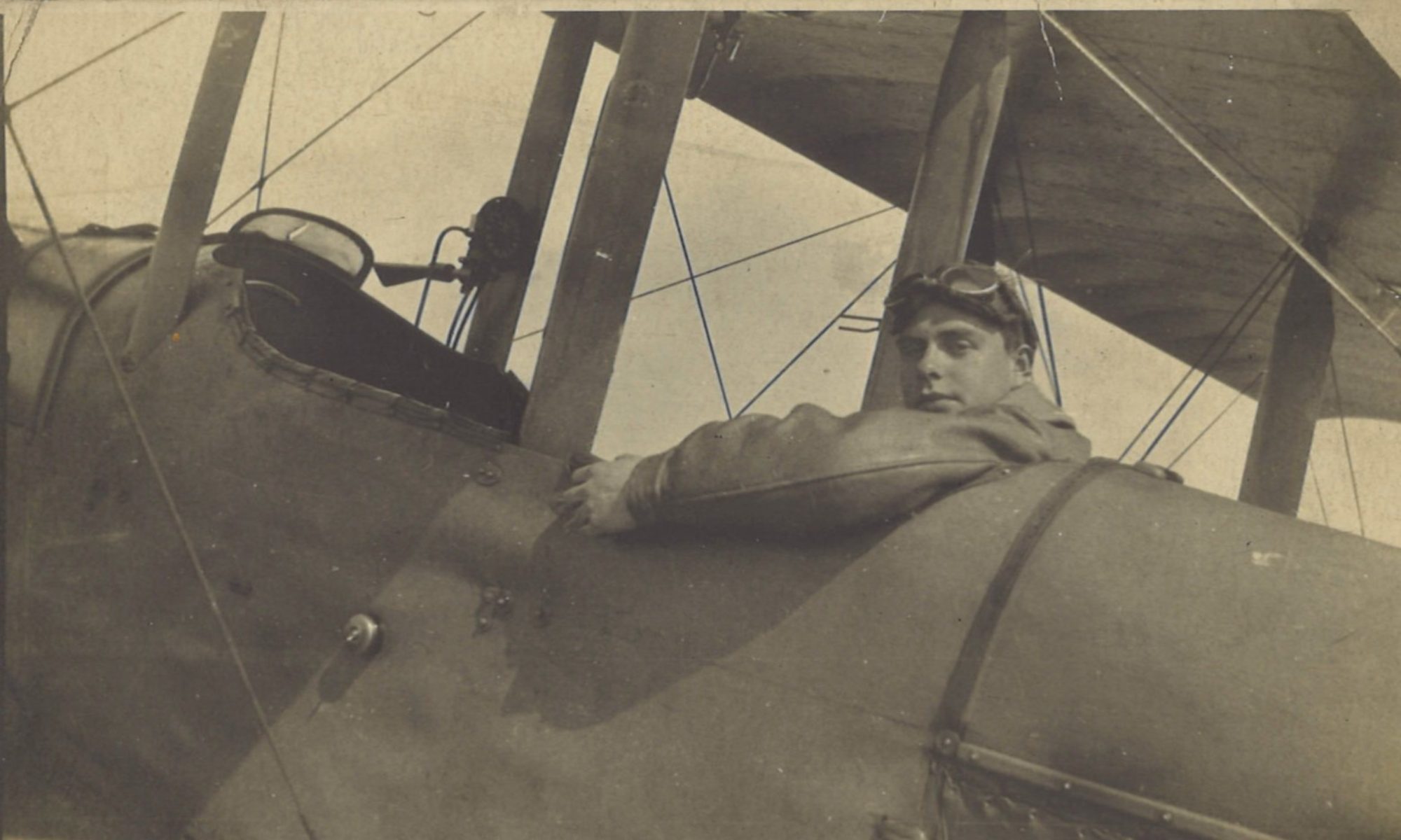
As British ground forces closed in on Lille from the west, there was a need for up-to-date aerial photography of the approaches to the city, east of Armentières. Greg and Lt Thomas Whittles were despatched to take some.
Log Book

![]()
Date: 7.10.18
Time Out: 8.40
Rounds Fired – Lewis: -
Rounds Fired – Vickers: -
Bombs: -
Time on RE8s:  166 hrs 50 mins
RE8: 4889
Observer: Whittles
War Flying: 2 hrs 05 mins
Height: 9000
Course/Remarks:  Photos.  30 plates exposed
Squadron Record Book

Type and Number: R.E.8. 4889
Pilot and Observer: P. Lt Gregory. O. Lt Whittles
Duty: Photography
Hour of Start: 0840
Hour of Return: 1045
Remarks: 36 Plates exposed over P. & J. squares.  Cable breaking, prevented further exposures.
A.A.active
Vis. Very misty. Height 9000 feet. Obs. by P.&.O.
Photography
The photography was over P and J squares: two 6,000 yard squares to the west of Lille, which amounted to just over 23 square miles (60 sq km)

The fact that it was misty but photographs were nonetheless demanded underlines the urgent need for them. No doubt there would have been more taken if the camera cable hadn’t broken.
Lt Thomas Whittles
We know little of Lt Thomas Whittles, Greg’s observer on this day (and no other). He was born 1891 and was in the Manchester Regiment before he joined the RAF (or possibly the RFC before it).
We do what he looked like, though, from a photo of him and Lt Ives taken in June 1918 before Lt Ives was posted back to the UK:

That photo was was first published in this post for 29 June:
The Front Moves East
Meanwhile, the front was continuing its eastwards push, and was now east of Armentières:


