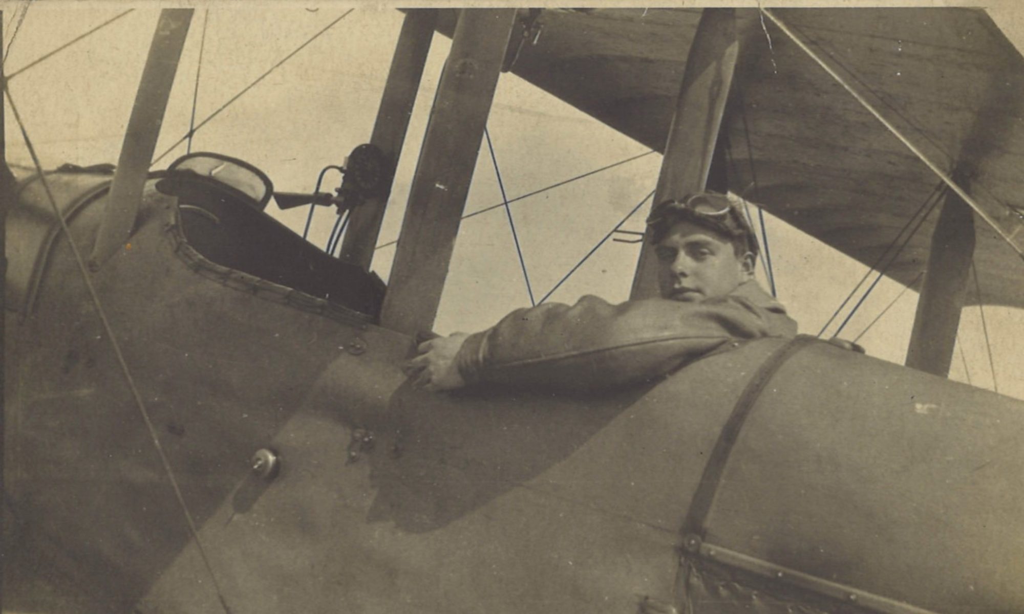
Despite poor visibility, Greg and Lt Bett went on their first counter-battery patrol from Ascq. The patrol was short (45 mins) and low (700 ft). They reconnoitred the situation near Pont-à-Chin on the River Scheldt, north of Tournai.
Log Book

![]()
Date: 25.10.18
Time Out: 15.35
Rounds Fired – Lewis: -
Rounds Fired – Vickers: -
Bombs: -
Time on RE8s:  177 hrs 15 mins
RE8: 2517
Observer: Bett
War Flying: 0 hrs 45 mins
Height: 700
Course/Remarks:  C.B.P. – Dud.
Squadron Record Book

Type and Number: R.E.8.2517
Pilot and Observer: P. Lt Gregory. O. Lt Bett
Duty: Reconnaissance
Hour of Start: 1535
Hour of Return: 1620
Remarks: 1535. Enemy shelling PONT A CHIN village & “Y” roads at I.32.a.1.1.
Flashes seen in wood at I.30.a. & I.24.b.&.d. – impossible to pin point owing to visibility.  Flashes red.
Floods in I.33.& 27.  subsided.  Large floods still in I.21.
A.A.M.G. [anti-aircraft machine gun] & single rifle shots from O.4.
No new footbridges seen.
Bridges at I.32.a.7.2. destroyed.
No E.A. [enemy aircraft] or E.K.B. [enemy kite balloons] seen.
Vis. poor.  Height 700’.  Obs.by P.&.O.
The following map shows the locations referred to:

Just one week ago, Greg reported on a reconnaissance flight from Chocques that the bridges over the River Escaut (Scheldt) north of Tournai were intact:
That was no longer the case. Today he reported: “Bridges at I.32.a.7.2. destroyed.” This seems to have been the crossing over the Scheldt from Pont-à-Chin to Paradis. Earlier in and probably before the war, there was a evidently a ferry over the river. Leading east from the ferry, next to the Au Ponton du Paradis inn, was a bridged track or causeway over the marshes on the eastern bank to the settlement of Paradis. The Germans had evidently built a bridge to replace the ferry, as shown overprinted in blue on the 1:20,000 scale map extract below, which was updated to October 1918. But unsurprisingly they had destroyed it as they withdrew east across the river.

Pont-à-Chin
Pont-à-Chin was one of the first crossing points on the River Scheldt north of the bridges in Tournai. It still is today: apart from the A8-E42 autoroute crossing high above the river, the Pont Bolus at Pont-à-Chin in the first place going north of Tournai where a’surface road’ crosses the Scheldt.
This was not the first occasion on which war raged around the village. In the Flanders campaign of the French Revolutionary Wars, the Battle of Tournai was fought on 22 May 1794. Pont-à-Chin changed hands four times during the battle, which resulted in a victory for the allies of the coalition (Austrian, British and Hanoverian) forces of the ancien régime against the revolutionary French. Times and allegiances change, even if the fields of battle don’t.


