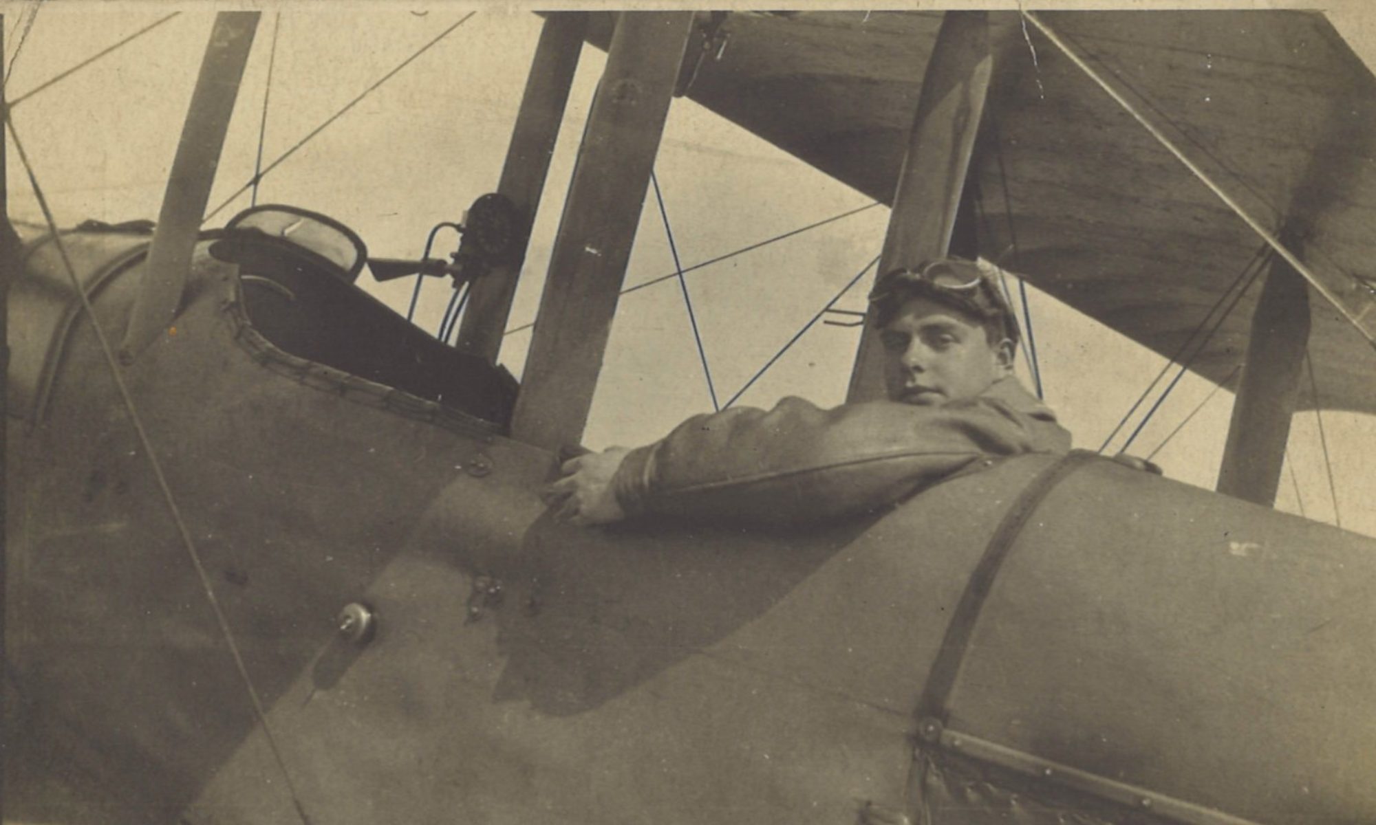
On another damp day around the River Lys, Greg takes Lt Watkins as observer, since Roche has flu. Central Wireless Station tells them to reconnoitre an area by l’Épinette, southeast of Merville. But they didn’t see any guns firing and the damp air leads to water in the carburettor again.
Log Book

![]()
Date: 19.6.18
Hour: 3.30
Machine type: RE8
No.: E27
Observer: Lt Watkins
Time: 1 hr 10 m
Height: 3000
Course/Remarks: CBP. Came down due to water in
                carburettor.
Diary

Wednesday June 19th. E27. Roche got an attack of the ‘flu’.  Took up Watkins as observer, saw one Hun.

Asked C.W.S. for a target & got R VII.  Went over to reconnoitre square R7 but owing to smoke from a fire just to windward was unable to see any guns firing in that square.  Weather pretty dud & damp.
“Asked C.W.S. [Central Wireless Station] for a target”
CWS was the squadron’s Central Wireless Station. This station operated one of the squadron’s two radio receivers. The other was at Station Headquarters for practice and tests. As the General Staff’s “Co-operation of Aircraft with Artillery” booklet (SS 131) explains:
…the Central Wireless Station should be at some central position in the corps area sufficiently far back to prevent jambing. This station acts as a link between the squadron commander and his machines working on the line, and is of great value in preventing incipient failures in their initial stages. … Its utility is largely dependent on quick telephone communication to the squadron and to batteries. Whenever possible, therefore, it should be located near Corps Heavy Artillery Headquarters, whose direct lines run to the above units. At this station are also taken weather reports, hostile aircraft reports and, in case of sudden enemy bombardments or attacks, calls for reinforcing machines.
Square R7
This would be square R7 in Sheet 36A (zone RA), 2 miles (3.2 km) SSE of Merville, near Lestrem. At the time, there was some kind of well defended German post or position there, at l’Épinette:

Nowadays, l’Épinette is on the southern edge of Merville-Calonne Airport:


