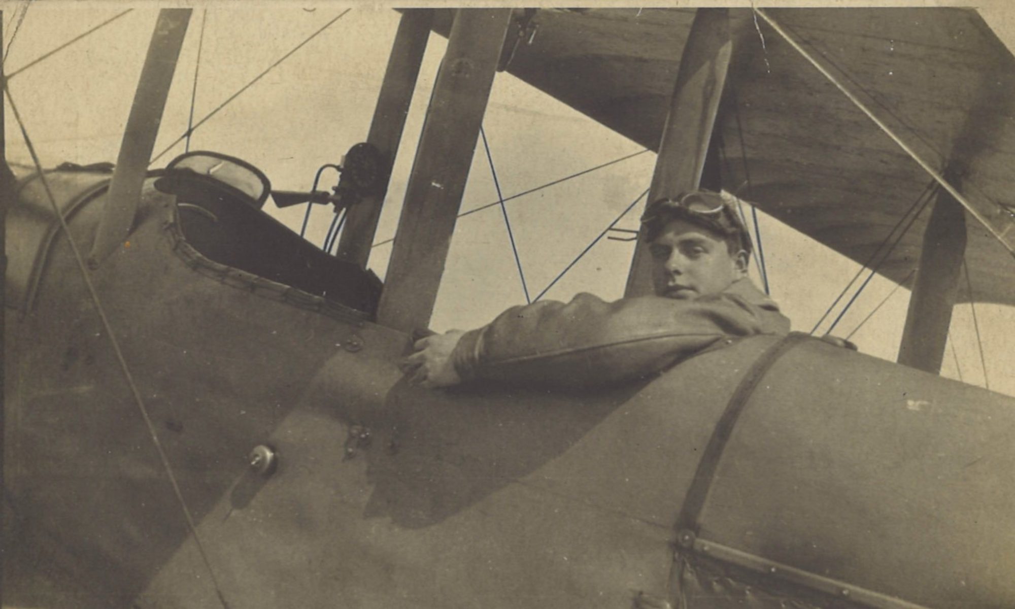
Greg has a hugely successful shoot today with 213 Siege Battery (SB), bringing down the Merville railway bridge over the River Lys. He was sufficiently proud of the day’s work to go back and take some photos to prove it.
Log Book

![]()
Date: 18.7.18
Hour: 3.30-6.30
Machine type: RE8
RE8: E27
Observer: Lt. Hodgson
Time: 3 hrs
Height: 7000
Course/Remarks: Shoot & Photos.  Successful. (213 SB on bridge)
Diary

Thursday July 18th. Shoot & photos (3 hrs). Shoot on bridge this side of Merville. Brought bridge down and went over and took some photos to prove it. 213 SB.
Squadron Record Book

Type and Number: R.E.8.27

Pilot and Observer: P. Lt Gregory. O. Lt Hodgson

Duty: Destr. Shoot 213 S.B. (8” How) on Bridge at K.35.a.4.7.

Hour of Start: 15.15

Hour of Return: 18.15

Remarks: SUCCESSFUL.  Called up 15.15.  K. 15.20.  L. 15.22. G. 15.26.  V. 16.10.  Time G. to V. 44 minutes. [This was the time between the first signal to fire, and the Battery Commander being satisfied that the guns are ranged.  44 minutes was fairly brisk.]

OBSERVED:- M.A.6.  M.B.3. 2 Y. 4 Z. 16 A. 5 B. 7 D. 34 ranging rounds.  5 M.O.K. sent during B.F.  [The mean points of impact of five salvos during battery fire were direct hits.] Bridge broken at Southern end.  15.50. fire on canal bank at K.35.a.5.7 [just to the east of the bridge on the northern bank].  16.3. fire by house at K.35.a.4.8 [close by the canal bank fire].  C.I. [going home] sent 16.45.

Photos.  10 plates exposed over target during and after shoot.  Vis. good.  Obs. By P. & O.
Merville Railway Bridge
The railway lines at Merville formed two of the three routes linking Armentières and Lille to the east with the important junction at Hazebrouck to the northwest, which the Germans had tried and failed to reach during Operation Georgette of the Spring Offensives.

As this ‘Lines of Communication’ map extract shows, one line ran west from Armentières following the Lys to Merville, where there was a junction. The Lys valley line continued west along the Lys to St. Venant and then joined the northerly running line from Béthune and Lillers to Hazebrouck. A single track branch line left the Lys valley line in west Merville, crossed the Lys and went northeast through the Nieppe Forest taking a more direct route to Hazebrouck. From April 1918 this branch line supplied the German trenches and back areas that were to the north and west of Merville.
It was the bridge that carried the branch line over the River Lys that Greg and 213 Siege Battery brought down 100 years ago today.
Aerial Views – Then and Now
Greg took this photo after shoot, when the bridge had been broken. It is timed at 6pm. The light was good, and the shadows from the sun (in the west, at the top of the photo) are strong:

Before looking at the bridge in more detail, here is a corresponding present day aerial view from Google maps, with the line of the railways marked in red:

Now, zooming in to the bridge in the 1918 photo:

In this image, the break in the bridge can just about be made out from the difference in the way the light falls. The break is at the Southern end, to the left in the photo.
Ground Views – Then and Now
Looking East
This picture really shows the result of the day’s shoot. Showing the broken bridge from ground level, the official photographer took the following photo after the liberation of Merville by the British in August 1918. It is taken along the line of the white arrow in the aerial photo above, looking east along the northern bank of the canalised River Lys (La Digue de Flandres):

And here, though you wouldn’t guess it, is the view from the same spot in 2018. Not only have the bridge and abutments gone completely, the vegetation has grown up:

To get a better sense of how the river looks today at the where the bridge was, here is a long-lens shot taken from further upstream (west, towards St. Venant and Aire-sur-la-Lys) but in the same direction:

Looking West
Finally, the following photo from the IWM’s collection shows, in April 1918, the southern abutment of the bridge while it was still intact. It was taken from the opposite bank of the River (La Digue d’Artois), looking west from the opposite side of the bridge. Irish troops of the British Army (7/8 Royal Inniskillings) were defending Merville railway bridge during the Battle of the Lys. (I’m grateful to Charles E. Mac Kay for letting me know the regiment. His great uncle, Lance Corporal Pat Cogan is the stretcher bearer with a moustache and wearing a helmet sitting, facing the camera. Sadly after the picture was taken he was badly wounded and died at Le Cateau military hospital.)

Again, the view from almost the same place 100 years later is hard to recognise. This photo was taken a few paces back from the 1918 one to give some context: the bridge, abutment, and embankment would have been between the first two lampposts. The view is still west along the southern bank of the Lys (La Digue d’Artois):

Shoots
More details on shoots can be found here:


