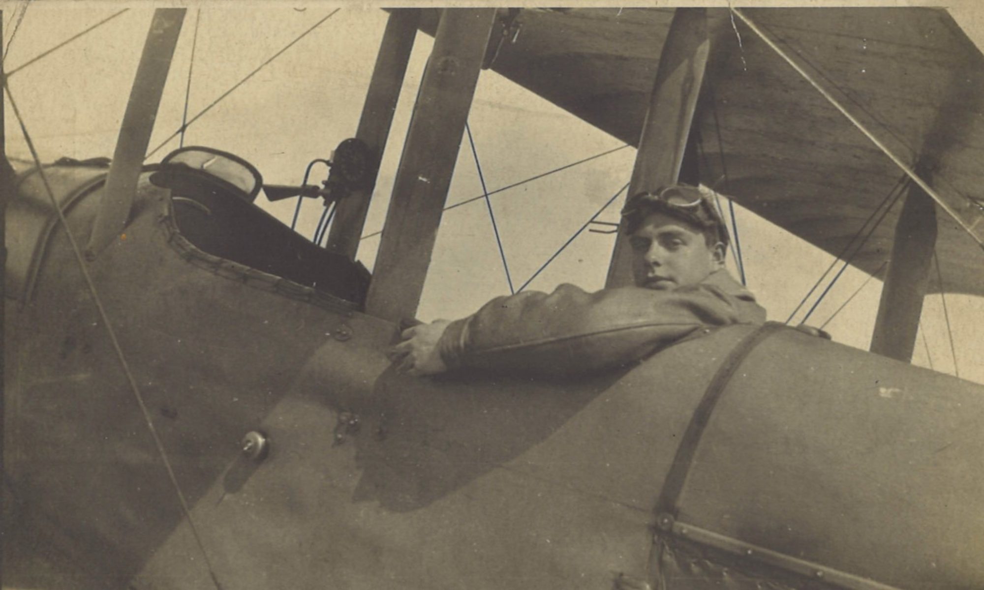
A cloudy and windy day made for a dud counter-battery patrol. But on the ground the British line had made further progress eastwards, and was now less than two miles (3.2 km) from Estaires. Merville was starting to recover from the occupation and shelling, which had damaged Merville Church beyond repair.
Log Book

![]()
Date: 26.8.18
Time: 11.5
Rounds Lewis: 300
Rounds Vickers: 300
Bombs: -
Time on RE8s: 142 hrs 40 mins
RE8: E27
Observer: Lt Hodgson
War Flying Time: 55 mins
Height: 1800
Course/Remarks: C.B.P. Dud. Cloudy & windy.
The British Front Nears Estaires

As the British front approached Estaires, several of Greg’s landmarks were now out of the enemy’s hands and back under allied control. These included:
- The village of Neuf Berquin, which has been mentioned in several posts;
- The site of the hostile battery at KD90, on the outskirts of Merville, which was the target of Greg’s first shoot, with 145 Siege Battery, on 1 July 1918:
- And the site of the hostile battery and dump at Crinquette Lotte, east of Merville, which was the target of the shoot which Greg had been proud of on 8 August 1918, just over two weeks previously:
Thursday 8 August 1918 – Good Shoot with 213 SB; Start of Last ‘100 Days’
Merville Church
Meanwhile, if the (enemy) shells had stopped falling on Merville, it was about now that the official photographer took photographs of what remained of the town. One picture he took was of Merville Church:

The remains of the church were demolished after the war, and the Hôtel de Ville was built on the site.

A new church now stands across the main north-south road running through the town, the rue Thiers/D946). It is to the north and west of the original site, as this Google maps view shows:


