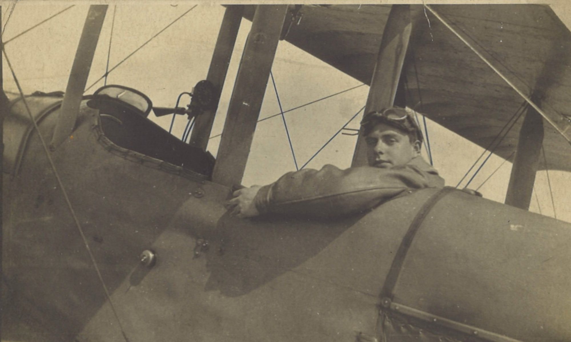
It was billed as a counter-battery patrol in the log book, and as reconnaissance in the Squadron Record Book. In fact it was both. After a misty false start, today’s patrol took Greg further east into Belgium than he had gone before. There were three German Fokkers over Mont St. Aubert, heading north from Tournai. But the mist made artillery flashes hard to pinpoint.
Log Book

![]()
Date: 29.10.18
Time Out: 6.20/7.00
Rounds Fired – Lewis: 100
Rounds Fired – Vickers: -
Bombs: 4
Time on RE8s:  180 hrs 20 mins
RE8: 2517
Observer: Scarterfield
War Flying: 1 hrs 35 mins
Height: 3000
Course/Remarks:  C.B.P.  3 Huns.  Fokkers.
Squadron Record Book

Type and Number: R.E.8.2517
Pilot and Observer: P. Lt Gregory. O. Lt Scarterfield
Duty: Test Flight.
Hour of Start: 0620.
Hour of Return: 0640.
Remarks: Weather test.
Visibility very poor. -ground mist.

Type and Number: R.E.8.2517
Pilot and Observer: P. Lt Gregory. O. Lt Scarterfield
Duty: Reconnaissance
Hour of Start: 0700
Hour of Return: 0815
Remarks: 0720. M.G. fire drawn from J.29.b.5.4.
0725. Enemy shelling road and railway crossing at H.30.c.8.2. Unable to see flashes owing to mist.
0740. Sent K.K. on flashes in J.35. Too misty to pinpoint.
E.A. 0750. 1.E.A. at 4000’ over D.C. zone.
0755. 3.Fokkers at 5000’ over I.D. proceeding Northwards.
BRIDGES. still intact at TOURNAI with the exception of railway bridge at O.6.d.2.8. [Probably O.16.d.2.8 intended]
  Traffic bridge at O.10.a.1.1 intact
  Foot bridges at I.32.a.5.5.  I.26.b.9.9.  I.14.b.8.7.  still passable.
A.A. Normal.
E.K.B. Nil.
BOMBS.4-25lb dropped at I.29.d.5.0.  Bursts observed.
Vis.V.Poor.  Height 1500/2500’.  Obs.by P.&.O.
This map shows the sites of most of the observations:

Zone DC
Zone DC, above which Greg saw one Fokker, is from 2-5,000 yds north of sub-squares 13, 14 and 15 of square J.
Mont St. Aubert
The three Fokkers seen above zone ID were flying northwards above Mont St. Aubert, a hilly outcrop 3½ miles (5.5 km) north of Tournai. The hills reach above the 140m contour line and were to form part of a short-lived defensive line held by the retreating German army.
Railway Bridge
The Squadron Record Book (SRB) refers to a no longer intact railway bridge at O.6.d.2.8, but there is no railway in or near sub-square O.6. However, the railway bridge at O.16.d.2.8 is the principal railway bridge over the Scheldt coming northwest out of Tournai, and look likely to have been a prime candidate for destruction by the withdrawing German forces.
Traffic Bridge
It is not clear what is meant by the (intact) traffic bridge at O.10.a.1.1, as no bridge is shown at that point. But it is possible that one had been built after the map (dated March 1917) was drawn. At this point, the main stream of the river is by-passing Lock No. 2 (Écluse No. 2) so it is possible that the river was at least temporarily bridged here.
“Pinpoint”
Greg says in the SRB that it was “too misty to pinpoint” the flashes in J.35. This isn’t the first time he has said “pinpoint”, either as one word or two. See the SRB entries in the post for 8 October 1918 and 25 October 1918. Although the word is in common usage today, what’s interesting is that 100 years ago it wasn’t. As the following Google Ngram View shows, its usage really took off between the 1940s and 1980s, since when it has declined a little. And up to the mid 1930s “pinpoint” and “pin point” were used more or less equally – if rarely.
Google Ngram for “pinpoint”. Click here for a full version.
Next up…
The next entry in Greg’s log book is for Thursday 31 October 1918.


